Manswood Walk

Manswood is a small hamlet located 1 mile north west of Witchampton and 1 mile west of Moor Crichel in the soft rolling hills of Cranborne Chase. Manswood Walk is a circular walk that takes you through conifer plantations, coppiced woods and arable farmland.

Distance: 3.5 miles Circular walk
Difficulty: Easy
Estimated time: 1 hour 45 mins
Date of walk: late August 2022
Map: OS Explorer 118


Continue reading “Manswood Walk”

Ordnance Survey OS Maps of Dorset

OS Maps of Dorset: Ordnance Survey offer two types of paper map of Dorset depending on the level of detail required: the OS Explorer series is better for walkers and off-road mountain biking while the OS Landranger series is less detailed and better for touring or long distance walks and biking (see details below). The good news is that Ordnance Survey now include a free digital download of each map that can be viewed using their OS Maps App for your phone (iPhone and Android).

Continue reading “Ordnance Survey OS Maps of Dorset”

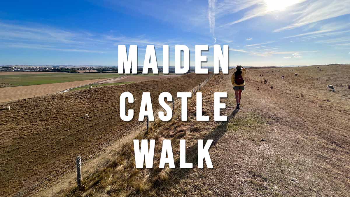
Maiden Castle Walk

Maiden Castle is the largest Iron Age hill fort in Britain and lies just outside Dorchester. It is owned by English Heritage but entrance is free, so is the car park. This short Maiden Castle Walk is an easy stroll around the banks and ditches of the hill fort offering beautiful views of rolling south Dorchester countryside.

Distance: 1.9 miles
Difficulty: Easy
Estimated time: 1 hour
Date of walk: 31 August 2022

Continue reading “Maiden Castle Walk”